|
2.06 Acres |
|
|
More site work |
|
|
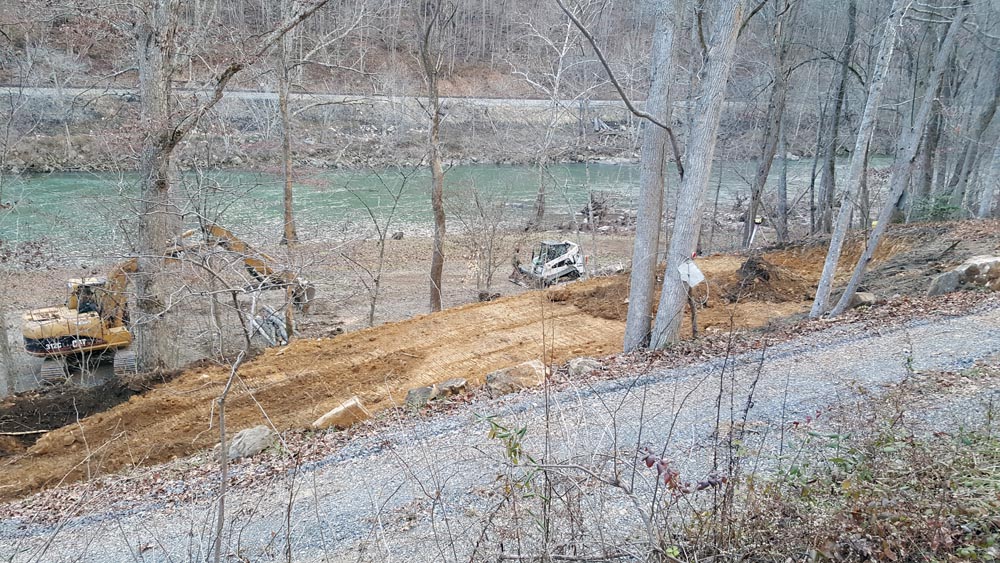
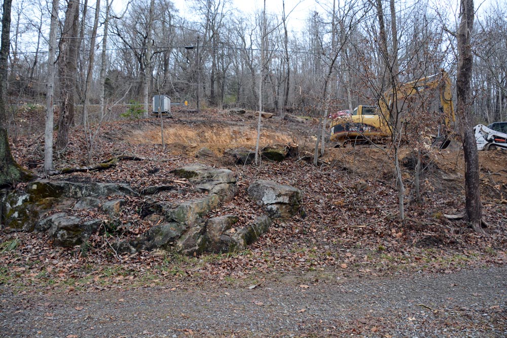
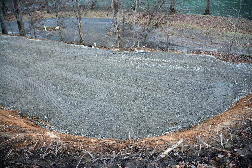
The flood of 2016 left devastation all up and down the Greenbrier Valley. Sadly, there was much loss of life, especially in White Sulphur Springs. I needed some site work and a lot of cleaning up. I made arrangements with Lynch Construction Co., but I stipulated that they should put higher priority needs ahead of mine. My turn came in late December. The interval of time gave opportunity for some planning. My high ground is near the highway, and I had developed ideas of how the site should be prepared for building a house. This was my chance to implement that plan. I envisioned a house set on pilings (probably concrete), with its rear anchored toward the high ground and its front toward the river. It would stretch over the higher terrace on which the camper had been parked. There would be a deck toward the river with a magnificant view. It would be fronted with lots of glass. I intended to have a driveway behind the house, with vehicle access to the back door. The driveway would circle around and come off the hill to pass under the house. This new site work would follow my plan. I had an elevation survey done at the time I bought the property. There is a steel peg set as the benchmark for this survey. My surveyor determined that any structure built on the property must clear 9-1/2 feet above the steel peg he set. I instructed Lynch Construction to develop a gravel pad 11 feet above the benchmark. A future house would be 18" to 24" above this pad, and the pad would be the driveway behind the house, giving a big margin of safety - at least three feet above the minimum elevation. That would keep me high and dry. The work started December 21, 2016.
|
|
|
|
|
|
|
|
|
|
|
|
|
|
|
|
|
|
|
|
|
|
|
|
|
|
|
|
|
|
|
|
|
|
|
|
|
|
|
|
|
|
|
|
|
|
|
|
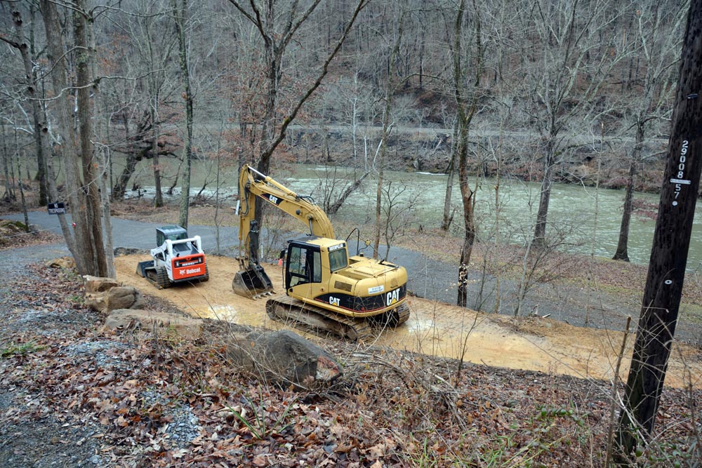
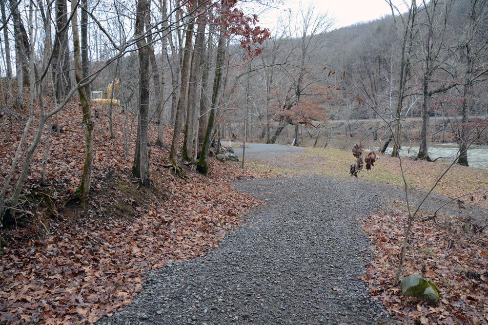
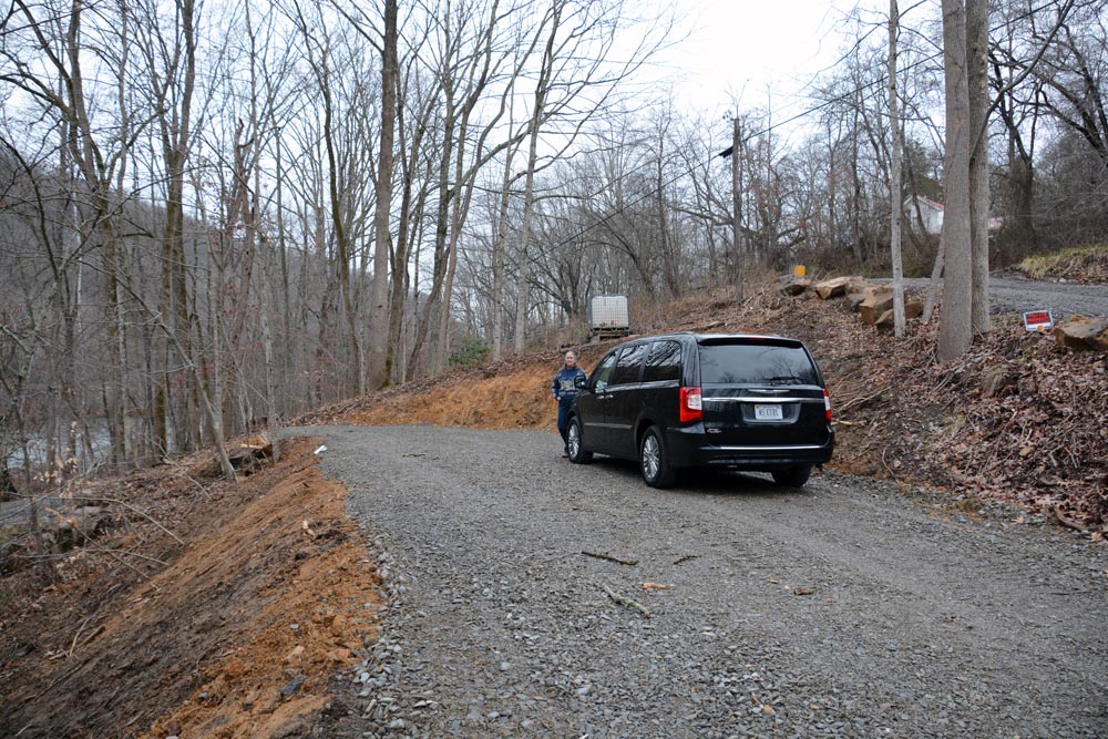
The photo above gives a sense of how the driveway eventually will come off the hill (where the excavator is) and curve around to go under the future house. |
|
|
|
|
|
|
|
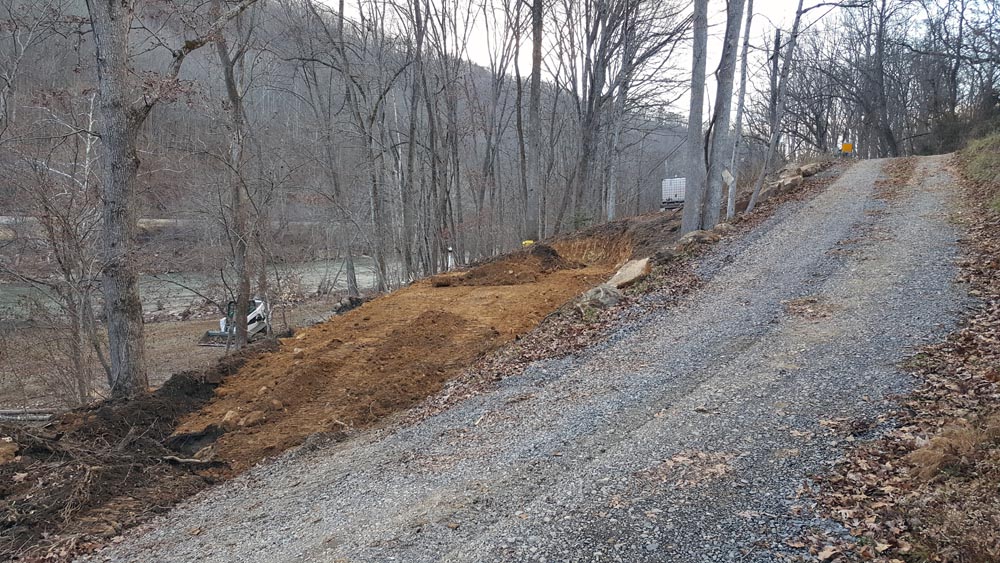
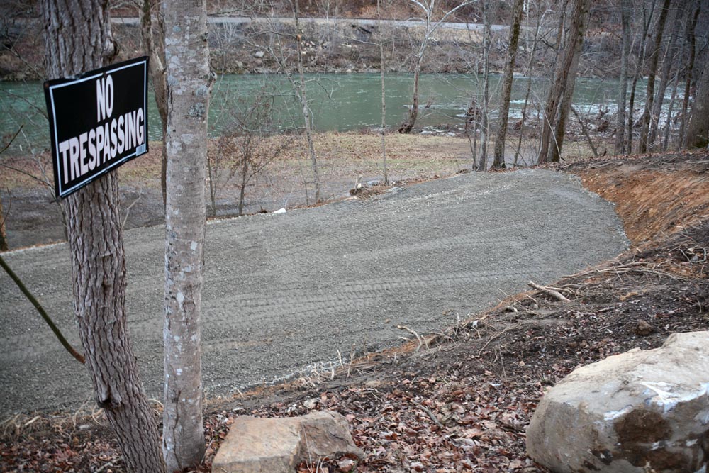
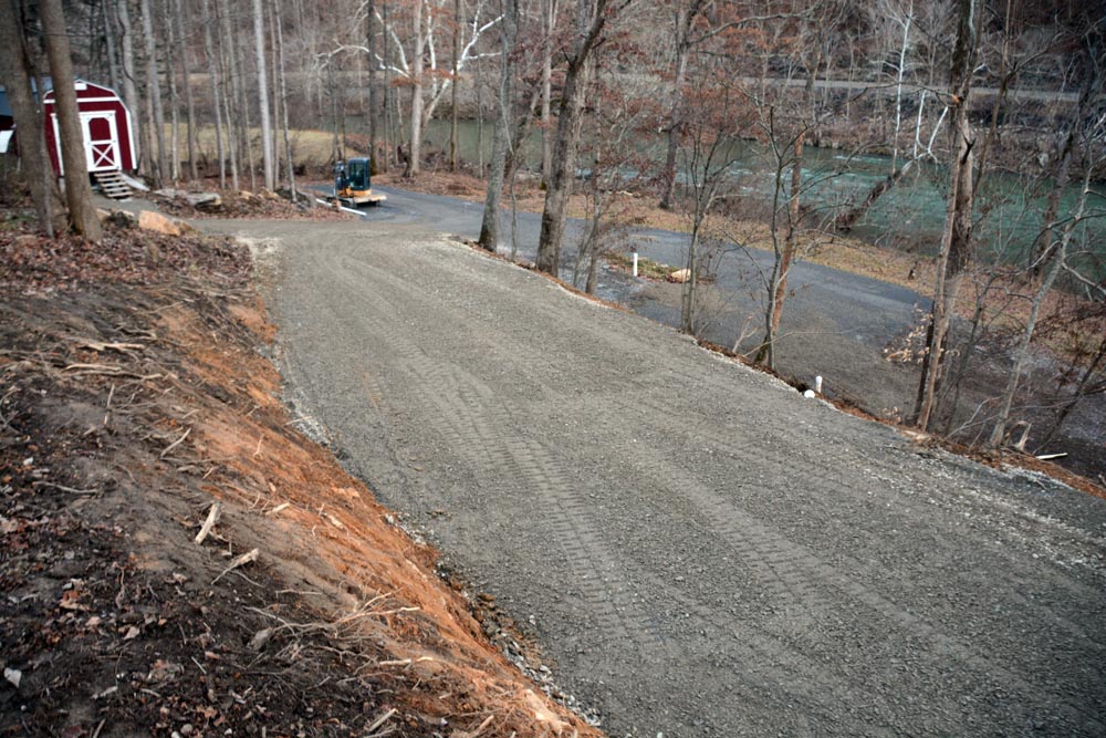
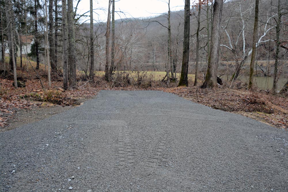
The finished gravel pad is exactly on the correct elevation - 11 feet above my elevation survey benchmark. It also measures 4-1/2 feet above the crest of the 2016 flood. |
|
|
|
|
|
|
|
|
|
|
|
|
|
|
|
|
|
|
|
|
|
|
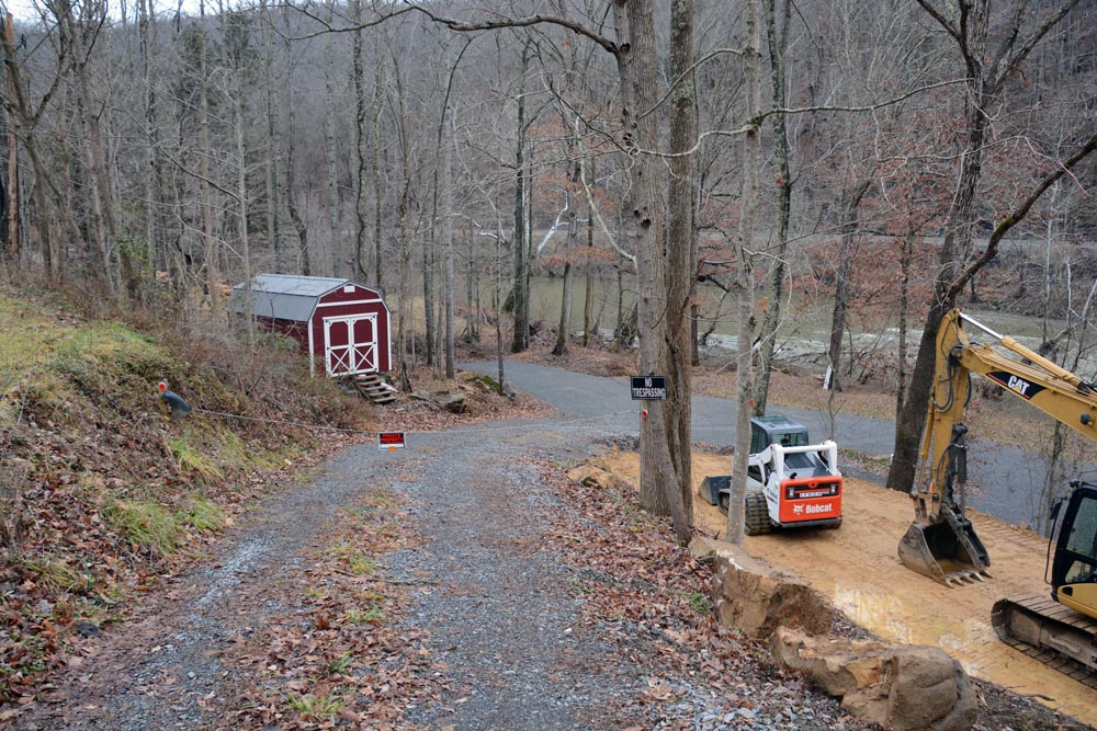
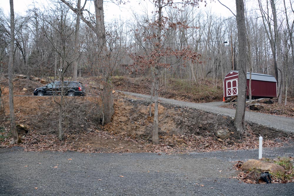
As part of this site work, I also had Lynch install a culvert to bridge the drainage coming across the upper side of the lot so I could extend the gravel parking area toward the upper boundary.
|
|
|
|
|
Now the question: Where to go from here? |
|
|
CLICK HERE TO GO BACK TO THE FIRST PAGE
|